
|
|
The McBoiko's Land |
| the land | the yurt | the critters | photo album | the methow |
| overview | property boundaries | satellite image | visual tour | how to get there |
|
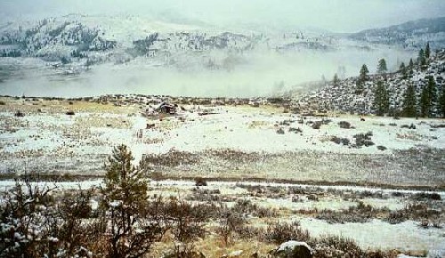
The road forms the eastern boundary of our property. This is the view from the top of the hill (which is the highest point of elevation on our land). You can see Will's place across the way and our road which begins at Will's driveway and continues to the right. |
|
|
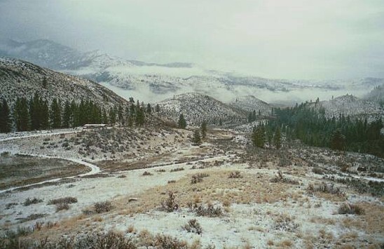
Our driveway veers off to the right but if you go straight on the road, it'll take you to the gate leading into Golden Doe Ranch. The gate is just beyond the taller of the two trees in the center of the photo. There is a fence that runs perpendicular to the road from the gate down to Alder Creek. The fence marks our southern border. |
| Directly to the south of the 6 acre parcel lies Golden Doe Ranch - a 300 acre Dept of Wildlife refuge. You can see our fence-line (and Rudy the chocolate lab) in the foreground. |
|
|
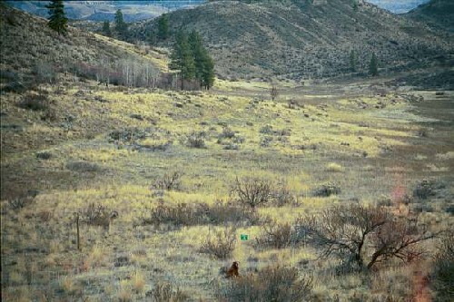
This picture is taken from the 7 acre parcel. The 6 acre parcel is further to the south but you can get a fairly good idea here of the north-south span of the land. The two trees at the top of the hill mark our northern border. There is a beautiful view of the valley from up there. |
| Alder Creek forms our western border but it's hard to give a visual representation of this because the creek is down a steep embankment from the yurt and isn't visible from the higher land. But if you click on visual tour above, you can take a "walk" behind the yurt down to the tree-fort, past glassy point and down to the creek. |
|
back to the top |
return to previous page |
click to continue |
|
|
|
|||